
Tampa, FL, September 22nd, 2026 — Written by Nick Cannella
GIS in real estate is the use of Geographic Information System mapping tools to combine property, infrastructure, environmental, and market data into a clear picture of what a piece of land is, what it could become, and who is most likely to value it.
Land is inherently geographic. At Eshenbaugh Land Company, GIS mapping tools are essential to how we work, because they help us understand a property well beyond its acreage and asking price. We use GIS to quickly evaluate the physical, regulatory, and locational factors that drive a property’s value and development potential.
This post explains what GIS is, how land brokers actually use it, and why it leads to better decisions for landowners, buyers, and developers.
What is GIS in real estate?
GIS — Geographic Information System — is technology that layers different types of location data onto a map so they can be analyzed together.
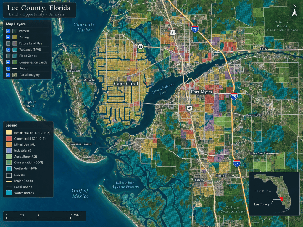
For a piece of land, that means overlaying parcel boundaries, zoning, future land use, wetlands, flood zones, utilities, roads, and nearby development on a single view. Instead of reading about a property across a dozen separate documents, GIS lets you see how all of those factors interact geographically. For land specifically — where value is driven by what surrounds a parcel as much as the parcel itself — that combined view is powerful.
How land brokers use GIS to evaluate a property
In our work, GIS informs nearly every stage of understanding a site. A few of the ways it does the heavy lifting:
- Property boundaries: Clearly identifying parcel lines, acreage, ownership patterns, and surrounding parcels.
- Zoning & future land use: Overlaying zoning and future land use maps to understand what may be developed and what approvals could be required.
- Environmental constraints: Reviewing wetlands, flood zones, conservation areas, and soils that may reduce usable acreage.
- Utilities & infrastructure: Locating nearby water, sewer, roads, transmission lines, and substations that affect development feasibility.
- Access & road frontage: Evaluating frontage, access points, intersections, interchanges, and connectivity.
- Surrounding development: Seeing nearby subdivisions, commercial and industrial projects, and planned communities that influence demand.
These are the same factors a developer weighs before making an offer. Understanding what developers look for before making an offer on Florida land shows why seeing them on one map, early, is such an advantage.
GIS reveals opportunities that raw acreage numbers hide
The real power of GIS comes from combining layers — because that is where opportunities and problems become visible.
By stacking zoning, infrastructure, environmental, and ownership data together, GIS can reveal parcels well positioned for residential, commercial, industrial, or agricultural use that would not be obvious from a listing sheet. It makes it easier to identify neighboring owners and assemblage opportunities—parcels that, combined, become far more valuable than they are individually. And it lets buyers compare multiple properties side by side on location, infrastructure, zoning, and environmental conditions, sharpening site selection.
How GIS helps landowners specifically
GIS is not just an internal tool — it changes the conversation we can have with landowners.
It allows us to show owners how their property fits into the larger market and to explain, visually, the factors that may drive its value. It supports a more informed opinion of value, because understanding nearby transactions, development patterns, entitlement potential, and physical constraints together produces a sharper number than any single data point. And it helps track growth patterns — visualizing where development is moving, where infrastructure is being extended, and where future demand for land may emerge.
That connects directly to understanding how much your land is worth in Florida, since so many of the value factors are geographic at their core.
GIS makes complex information simple
One good map can often explain a property more effectively than several pages of text.
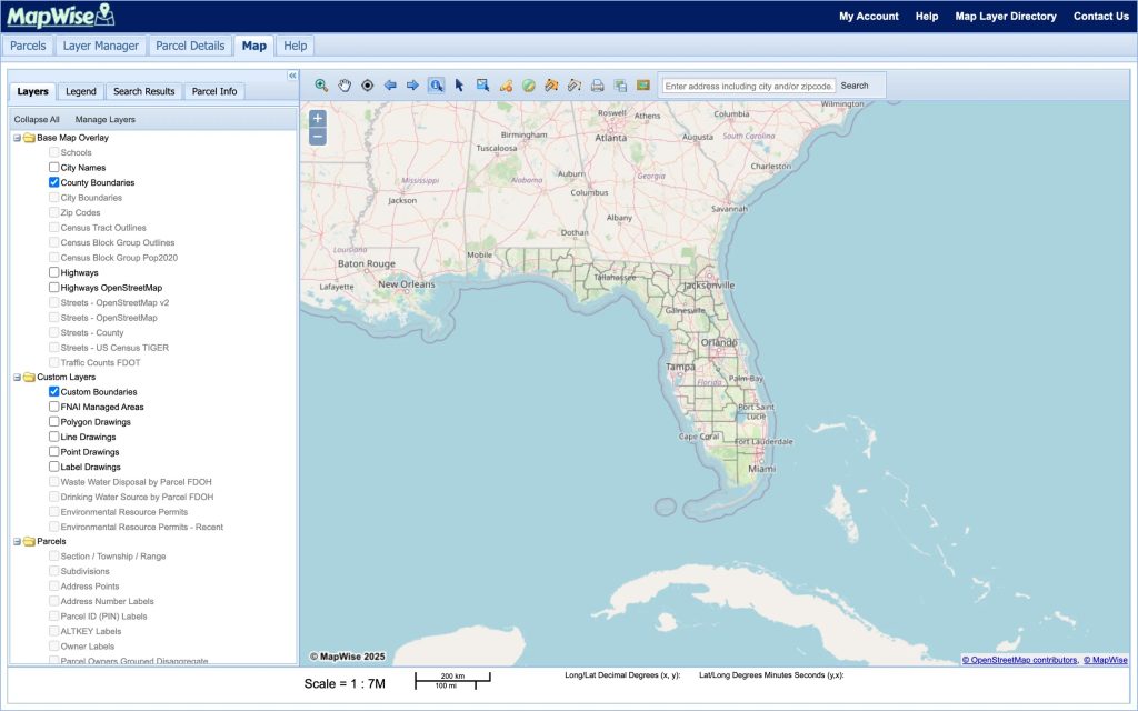
Maps showing roads, utilities, development activity, aerial imagery, zoning, and nearby landmarks let sellers, buyers, developers, and investors quickly see why a property is significant. That clarity also makes for stronger marketing materials — a buyer who can see a site’s position at a glance understands its potential far faster than one reading a description.
Just as important, GIS reduces uncertainty early. It does not replace engineering, surveying, environmental studies, or formal due diligence — but it allows us to identify potential opportunities and concerns much sooner in the process, before anyone spends significant time or money.
The bottom line: land is geographic, and so is its value
GIS in real estate matters because land is inherently geographic. Its value is shaped by boundaries, zoning, environmental conditions, infrastructure, access, and everything around it — all of which are best understood spatially.
GIS allows us to combine property, infrastructure, environmental, entitlement, and market data into a clearer picture of what a site is, what it could become, and who is most likely to value it. For landowners, buyers, and developers, that clearer picture is the foundation for better decisions. Our land advisory team uses these tools on every property we work with across Tampa Bay, Central Florida, and Southwest Florida. You can also view available land listings.
Want a clearer picture of what your land is — or could become? Contact Eshenbaugh Land Company for a confidential conversation.